Technical questions
Surveying shade before planning a solar canopy
TTH Pergola solar carport guide: record nearby obstructions so the energy-system designer can assess the proposed roof location.
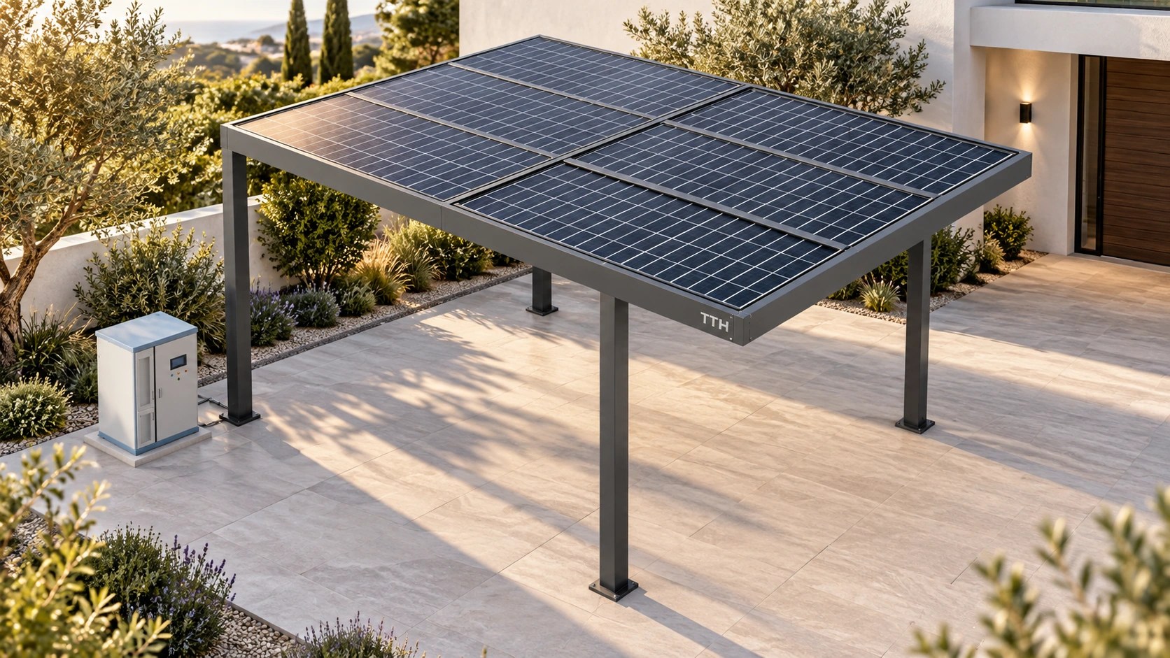
Shade changes with time and with the surrounding site
A roof area that appears clear at one moment may be affected by a neighbouring building or tree at another. The useful survey therefore records the surroundings and when the observations were made. Include features beyond the immediate footprint, because their relationship to the proposed roof can matter even when they are not physically close to a post.
When preparing information for a TTH solar-canopy assessment, take views in more than one direction and note the date and approximate time. Identify trees, walls and other features that may change or grow. The canopy examples on tthpergola.com help explain the intended structure, but site photographs establish the setting in which it would operate. Do not convert a few clear-looking images into a guaranteed output claim. Instead, use them to support the assessment and to identify where better information is needed. This early observation can also improve the parking layout, because the same surroundings may affect approach, visibility and maintenance access. A good survey gives the reviewer context rather than only a close-up of an empty patch of ground.
Record the surroundings, not only the roof
A solar canopy plan should include nearby buildings, trees and other objects that may affect the proposed module area. Photographs from one moment are useful context but do not show every seasonal condition. Mark the canopy orientation and the approximate position of the surrounding objects on a site plan. The information should help a qualified designer identify what needs assessment, not encourage an unsupported prediction of energy production.
Distinguish observations from measurements
Label what has actually been measured and what is approximate. If you notice shade at a particular time, record the date, time and viewing position instead of describing the roof as always shaded. Ask the designer what further survey information is required. Do not move the proposed canopy solely to improve one photograph if that would compromise vehicle access, drainage or the structural installation arrangement.
Coordinate the final location
The selected position must work for both the covered space and the proposed energy system. Review the parking or storage plan alongside the specialist's assessment and identify any trade-offs clearly. If planting or nearby construction is expected to change, mention it before the design is finalized. Keep the final orientation and relevant survey information with the project file so later equipment decisions are based on the same site rather than a generic canopy example. When an assessment identifies an obstruction, ask how significant it is for the proposed system rather than making an immediate design change based only on the object's presence.
- Mark orientation and nearby objects.
- Date observations of visible shade.
- Review the energy assessment with the usable-space plan.
Can one sunny photograph rule out shading concerns?
No. It records one moment and viewpoint. Provide the surrounding context and observation times so that the proposed solar layout can be assessed with the appropriate site information.