Large pergola projects
A pergola on the site plan: align coordinates and levels
Align supplier drawings and site plans through references, orientation, units and finished levels.
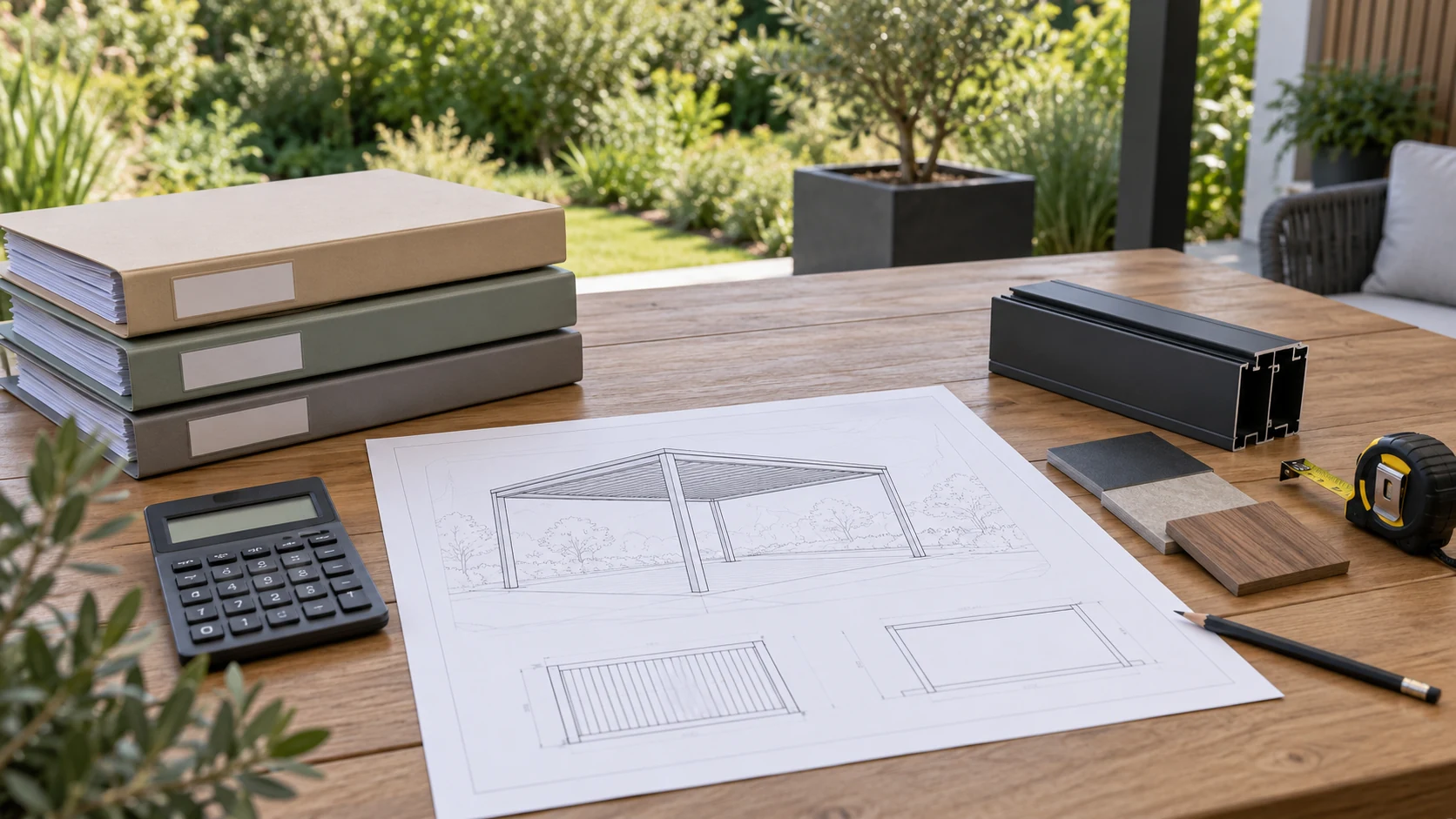
Agree what each drawing is locating
Before placing a pergola on a site plan, establish how supplier references relate to the survey basis. Correct overall dimensions do not establish orientation, column position or level. The design and survey teams should identify coordinates, units, direction and version, including whether a reference locates the roof, column centres or another object. This guide concerns information coordination, not setting-out or foundation design. Purpose-based information requirements are useful here: the receiver should know what decision the drawing supports rather than merely receive a visually complete sheet.
Define the meaning of each level
Heights may refer to finished ground, structural surfaces or particular product points. The responsible teams should define their meaning and relationship instead of assuming equal numbers share a datum. Retain survey sources and pending information; rendering colours cannot supply missing levels. Pass slopes, steps and other conditions to appropriate professionals for coordination. Identify what the supplier can use for current design and what remains reference only. This helps locate changes in the site, product or representation instead of repeatedly checking drawings against incompatible assumptions.
Check apparent alignment with different orientation
Suppose the correct rectangular footprint is placed on the plan but supplier orientation differs, putting an accessory on the wrong side. Resolve this through shared references and direction, not an unexplained drag to a visually convenient location. Confirm affected elements and records, then update their versions. A complex model is unnecessary; simple drawings can express references clearly. Distinguish inserted from coordinated so pricing, site and accessory teams do not continue from an attractive but unverified placement and treat it as an approved project condition.
Close with a checkable information package
Retain references, orientation, units, level definitions, versions and confirmation owners, identifying pending professional or site checks. Explain the scope of updates instead of only renaming files. Construction and survey teams retain their own responsibilities. Preserve delivered records and later changes for future work.
Where software differs, check references after export and receipt. A file opening successfully confirms readability, not correct coordinate or level transfer. General product drawings should not be represented as site-specific engineering evidence without the corresponding project coordination.
- Align references, direction, units and located objects.
- Define finished surfaces and level meanings.
- Check revisions and cross-software receipt.
Are coordinates and levels still relevant when pergola dimensions match the site plan?
Yes. Dimensions do not establish references, orientation, column location or level. Define these through the design and survey teams and verify the received version. Readability is not correct positioning, and site work retains its professional requirements.
More questions, practical answers →